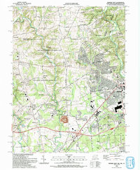
1992 Map of Newark West
USGS Topo · Published 1993About this map
Big Elk Creek and the West Branch Christina River carve through this landscape at the intersection of Maryland, Delaware, and Pennsylvania during the early 1990s. The map highlights the extensive Fair Hill State Natural Resources Management Area, a former du Pont estate turned public land, featuring the Fair Hill Training Center and the Fair Hill Race Track. The transition from rural equestrian land to suburban development is evident as the western edge of Newark expands near the University of Delaware campus.
Find a feature on this map
104 named features on this map. Tap any name to fly to it.
Don’t see what you’re looking for? This feature index may not catch every label — zoom into the map to look around manually.
Map Details
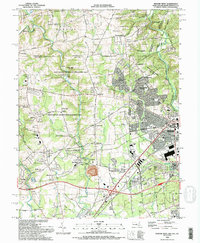
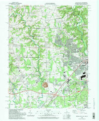
Editions of this 1992 Newark West Map
3 editions found
Other maps of this area

1898 · Elkton
USGS Topo · 1:62,500

1900 · Elkton
USGS Topo · 1:62,500

1901 · West Chester
USGS Topo · 1:62,500

1904 · West Chester
USGS Topo · 1:62,500

1904 · Coatesville
USGS Topo · 1:62,500

1904 · Wilmington
USGS Topo · 1:62,500

1906 · Coatesville
USGS Topo · 1:62,500

1906 · Wilmington
USGS Topo · 1:62,500

1917 · Elkton
USGS Topo · 1:62,500

1918 · Coatesville
USGS Topo · 1:62,500