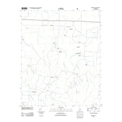
2011 Map of Newburg
USGS Topo · Published 2011About this map
Newburg sits at a crossroads in Franklin County, where the terrain transitions into the high ridges of Macedonia Mountain and Eckerberger Mountain. This 2011 survey documents a landscape of deeply etched hollows and creek branches, including the curiously named Coffin Hollow and Stillhouse Hollow. Small family and community burial grounds are scattered throughout the hills, from the Sylvester Cemetery in the north to the Duboise Cemetery near the southern settlement of Union.
Find a feature on this map
97 named features on this map. Tap any name to fly to it.
Don’t see what you’re looking for? This feature index may not catch every label — zoom into the map to look around manually.
Map Details
Editions of this 2011 Newburg Map
This is the sole edition of this map. No revisions or reprints were ever made.
Other maps of this area

1924 · Tuscumbia
USGS Topo · 1:48,000

1926 · Tuscumbia
USGS Topo · 1:62,500

1936 · Russellville
USGS Topo · 1:24,000

1936 · Newburg
USGS Topo · 1:24,000

1936 · Kinlock Spring
USGS Topo · 1:24,000

1936 · Phil Campbell
USGS Topo · 1:24,000

1936 · Moulton
USGS Topo · 1:48,000

1936 · Spruce Pine
USGS Topo · 1:24,000

1936 · Hatton
USGS Topo · 1:24,000

1936 · Landersville
USGS Topo · 1:24,000