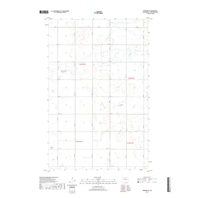
2017 Map of Newburg SE
USGS Topo · Published 2017About this map
Deep River meanders through this section of McHenry County, defining a landscape marked by glacial potholes and prairie wetlands. The terrain is characterized by a high density of small water bodies and marshy depressions, common to the Souris River basin, where the waterway creates complex oxbows and shifts through the rural townships. Transportation across these plains is structured by a strict section-line grid, including routes like 10th Ave N and 81st St N.
Find a feature on this map
24 named features on this map. Tap any name to fly to it.
Don’t see what you’re looking for? This feature index may not catch every label — zoom into the map to look around manually.
Map Details
Editions of this 2017 Newburg SE Map
This is the sole edition of this map. No revisions or reprints were ever made.
Other maps of this area

1948 · Newburg SW
USGS Topo · 1:24,000

1949 · Granville NE
USGS Topo · 1:24,000

1949 · Newburg SW
USGS Topo · 1:24,000

1949 · Granville NW
USGS Topo · 1:24,000

1949 · Kramer
USGS Topo · 1:24,000

1950 · Newburg
USGS Topo · 1:24,000

1950 · Kramer
USGS Topo · 1:24,000

1950 · Deep
USGS Topo · 1:24,000

1950 · Upham
USGS Topo · 1:24,000

1950 · Newburg SE
USGS Topo · 1:24,000