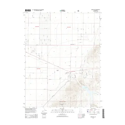
2014 Map of Newcastle
USGS Topo · Published 2014About this map
Newcastle serves as the primary hub of this high-desert landscape, positioned where the Escalante Valley and Escalante Desert meet the rising foothills of the south. The settlement pattern is defined by a rigid grid of rural roads, including Ut-56 and Sand Spring Rd, which cut across the arid flats. To the west of the town center lies the Newcastle Cem, a key site for local genealogical research.
Find a feature on this map
46 named features on this map. Tap any name to fly to it.
Don’t see what you’re looking for? This feature index may not catch every label — zoom into the map to look around manually.
Map Details
Editions of this 2014 Newcastle Map
This is the sole edition of this map. No revisions or reprints were ever made.
Other maps of this area

1885 · St. George
USGS Topo · 1:250,000

1891 · St. George
USGS Topo · 1:250,000

1950 · Antelope Peak
USGS Topo · 1:24,000

1950 · Iron Mountain
USGS Topo · 1:62,500

1950 · Silver Peak
USGS Topo · 1:24,000

1950 · Page Ranch
USGS Topo · 1:24,000

1951 · Silver Peak
USGS Topo · 1:24,000

1951 · Page Ranch
USGS Topo · 1:24,000

1953 · Cedar City
USGS Topo · 1:250,000

1958 · Cedar City
USGS Topo · 1:250,000