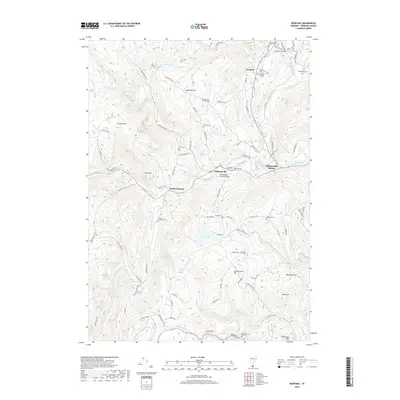
2018 Map of Newfane
USGS Topo · Published 2018About this map
Newfane and the surrounding villages of South Newfane and Williamsville occupy a landscape defined by the winding course of the West River and the Rock River. This 2018 survey reveals a terrain deeply carved by water, where numerous family and village burial grounds like the Perry Family Radway Cem and Woodlawn Cem are tucked into the hillsides. A notable concentration of historic infrastructure remains evident, most specifically the Williamsville Covered Bridge crossing the Rock River.
Find a feature on this map
105 named features on this map. Tap any name to fly to it.
Don’t see what you’re looking for? This feature index may not catch every label — zoom into the map to look around manually.
Map Details
Editions of this 2018 Newfane Map
This is the sole edition of this map. No revisions or reprints were ever made.
Other maps of this area

1889 · Wilmington
USGS Topo · 1:62,500

1891 · Wilmington
USGS Topo · 1:62,500

1891 · Brattleboro
USGS Topo · 1:62,500

1893 · Brattleboro
USGS Topo · 1:62,500

1894 · Londonderry
USGS Topo · 1:62,500

1899 · Londonderry
USGS Topo · 1:62,500

1899 · Wilmington
USGS Topo · 1:62,500

1930 · Saxtons River
USGS Topo · 1:48,000

1932 · Brattleboro
USGS Topo · 1:48,000

1933 · Saxtons River
USGS Topo · 1:62,500