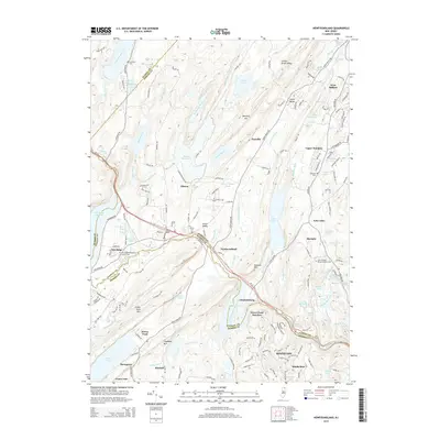
2014 Map of Newfoundland
USGS Topo · Published 2014About this map
Bearfort Mtn and Kanouse Mtn dominate this section of the New Jersey Highlands, where the landscape is defined by long ridges and a series of significant water catchments. The Clinton Reservoir and Oak Ridge Reservoir sit at the center of a complex hydrological network that includes Echo Lake and the Pequannock River. This area, encompassing parts of Passaic, Morris, and Sussex Counties, maintains a distinctive pattern of small settlements such as Newfoundland and Oak Ridge that follow the valley floors between the steep mountain faces.
Find a feature on this map
152 named features on this map. Tap any name to fly to it.
Don’t see what you’re looking for? This feature index may not catch every label — zoom into the map to look around manually.
Map Details
Editions of this 2014 Newfoundland Map
This is the sole edition of this map. No revisions or reprints were ever made.
Other maps of this area

1888 · Franklin
USGS Topo · 1:62,500

1888 · Morristown
USGS Topo · 1:62,500

1888 · Lake Hopatcong
USGS Topo · 1:62,500

1891 · Greenwood Lake
USGS Topo · 1:62,500

1893 · Greenwood Lake
USGS Topo · 1:62,500

1894 · Morristown
USGS Topo · 1:62,500

1894 · Lake Hopatcong
USGS Topo · 1:62,500

1894 · Franklin
USGS Topo · 1:62,500

1897 · Franklin
USGS Topo · 1:62,500

1898 · Lake Hopatcong
USGS Topo · 1:62,500