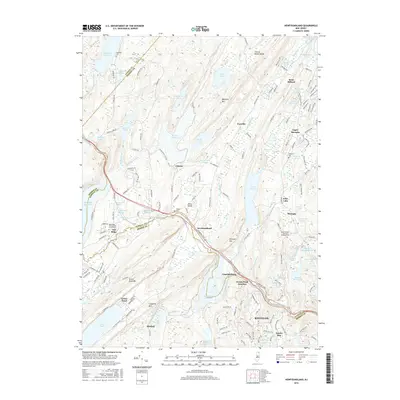
2016 Map of Newfoundland
USGS Topo · Published 2016About this map
Newfoundland and the Pequannock River valley serve as the geographic heart of this North Jersey highlands region, where historical transport routes and water management define the landscape. The terrain is characterized by dramatic ridges like Bearfort Mtn and Kanouse Mtn, which frame a series of significant water bodies including Echo Lake, Clinton Reservoir, and Canistear Reservoir. For local historians and genealogists, the map identifies several significant burial grounds and spiritual centers, such as the Oak Ridge Presbyterian Church Cemetery and Saint Joseph's Roman Catholic Church. The settlement pattern follows the valley floors and narrow passes, from the community of Oak Ridge to the rural crossroads at Union Valley and Postville. This detailed view captures the complex boundary where Morris and Passaic Counties meet, illustrating how the region's steep topography has historically funneled development and infrastructure along specific corridors like the Macopin River.
Find a feature on this map
174 named features on this map. Tap any name to fly to it.
Don’t see what you’re looking for? This feature index may not catch every label — zoom into the map to look around manually.
Map Details
Editions of this 2016 Newfoundland Map
This is the sole edition of this map. No revisions or reprints were ever made.
Other maps of this area

1888 · Franklin
USGS Topo · 1:62,500

1888 · Morristown
USGS Topo · 1:62,500

1888 · Lake Hopatcong
USGS Topo · 1:62,500

1891 · Greenwood Lake
USGS Topo · 1:62,500

1893 · Greenwood Lake
USGS Topo · 1:62,500

1894 · Morristown
USGS Topo · 1:62,500

1894 · Lake Hopatcong
USGS Topo · 1:62,500

1894 · Franklin
USGS Topo · 1:62,500

1897 · Franklin
USGS Topo · 1:62,500

1898 · Lake Hopatcong
USGS Topo · 1:62,500