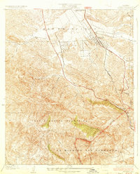
1933 Map of Newhall
USGS Topo · Published 1933About this map
The settlement of Newhall serves as the focal point for this early 1930s survey, situated at the convergence of vital transportation corridors that cut through the canyon-scored landscape of Northern Los Angeles County. The Southern Pacific railroad and the heavily traveled Highway No 99 navigate the complex terrain, winding past the Dept of Commerce Landing Field and an Airway Beacon, highlighting the era's evolving infrastructure for both ground and air transit.
Find a feature on this map
27 named features on this map. Tap any name to fly to it.
Don’t see what you’re looking for? This feature index may not catch every label — zoom into the map to look around manually.
Map Details
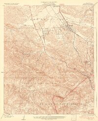
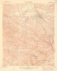
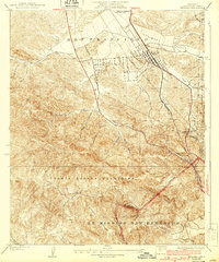
Editions of this 1933 Newhall Map
4 editions found
Other maps of this area

1900 · Fernando
USGS Topo · 1:62,500

1901 · Southern California Sheet No. 1
USGS Topo · 1:250,000

1903 · Camulos
USGS Topo · 1:125,000

1903 · Santa Susana
USGS Topo · 1:62,500

1904 · Southern California Sheet No. 1
USGS Topo · 1:250,000

1925 · Sylmar
USGS Topo · 1:24,000

1925 · Chatsworth
USGS Topo · 1:24,000

1927 · Chatsworth
USGS Topo · 1:24,000
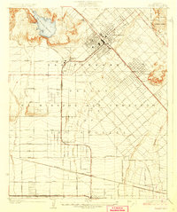
1927 · Pacoima
USGS Topo · 1:24,000
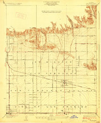
1928 · Zelzah
USGS Topo · 1:24,000
Featured Places
- Los Angeles, CA
- Santa Clarita, CA
- Waltz, Santa Clarita
- Elayon, Santa Clarita
- Unincorporated Chatsworth, CA