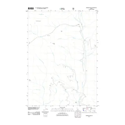
2011 Map of Newman Peak
USGS Topo · Published 2011About this map
Newman Peak serves as the central anchor for this mountainous region of Idaho, characterized by its deep canyons and legacy of mineral exploration. The drainage network is dominated by the South Fork Boise River, which receives water from numerous tributaries including Bear Creek, High Creek, and Bridge Creek. This landscape preserves the footprints of the area's mining history, with the Axolotl Mine, Old Sam Mine, and El Oro Mine positioned along the slopes and creek beds.
Find a feature on this map
24 named features on this map. Tap any name to fly to it.
Don’t see what you’re looking for? This feature index may not catch every label — zoom into the map to look around manually.
Map Details
Editions of this 2011 Newman Peak Map
This is the sole edition of this map. No revisions or reprints were ever made.
Other maps of this area

1894 · Rocky Bar
USGS Topo · 1:125,000

1900 · Sawtooth
USGS Topo · 1:125,000

1955 · Hailey
USGS Topo · 1:250,000

1959 · Hailey
USGS Topo · 1:250,000

1962 · Hailey
USGS Topo · 1:250,000

1964 · Frenchman Creek
USGS Topo · 1:24,000

1964 · Ross Peak
USGS Topo · 1:24,000
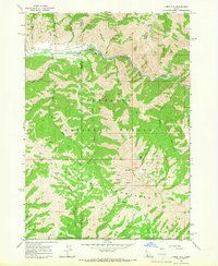
1964 · Jumbo Mtn
USGS Topo · 1:24,000

1964 · Marshall Peak
USGS Topo · 1:24,000

1970 · Sydney Butte
USGS Topo · 1:24,000