
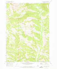
1964 Map of Ross Peak
USGS Topo · Published 1966About this map
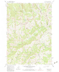
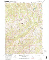
Ross Peak and Gunsight Peak dominate this high-altitude landscape along the border of Elmore and Camas Counties in the mid-1960s. The topography is defined by the high divides between the Boise National Forest and Sawtooth National Forest, where a complex network of pack trails serves as the primary infrastructure for traversing the steep drainages. Mining activity is evident in the eastern portion of the quadrangle, notably at the Red Horse Mine and various unnamed Prospects scattered near Senator Creek.
Find a feature on this map
41 named features on this map. Tap any name to fly to it.
Don’t see what you’re looking for? This feature index may not catch every label — zoom into the map to look around manually.
Map Details
Editions of this 1964 Ross Peak Map
3 editions found
Other maps of this area

1894 · Rocky Bar
USGS Topo · 1:125,000

1900 · Sawtooth
USGS Topo · 1:125,000

1955 · Hailey
USGS Topo · 1:250,000

1959 · Hailey
USGS Topo · 1:250,000

1962 · Hailey
USGS Topo · 1:250,000

1964 · Cayuse Point
USGS Topo · 1:24,000
1964 · Jumbo Mtn
USGS Topo · 1:24,000
1964 · Grouse Butte
USGS Topo · 1:24,000

1964 · Marshall Peak
USGS Topo · 1:24,000
1970 · Newman Peak
USGS Topo · 1:24,000