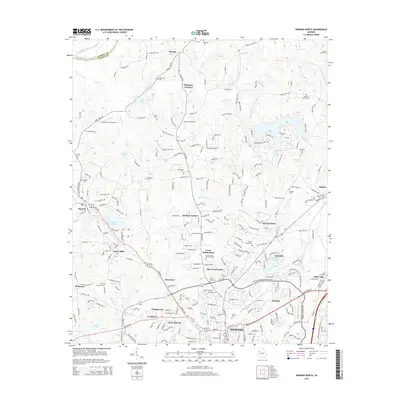
2014 Map of Newnan North
USGS Topo · Published 2014About this map
Newnan expands northward toward the Chattahoochee River in this 2014 record of Coweta County. The landscape is a transition between the established city grid and the suburban growth represented by developments like Windsor Estates, Sherwood Forest, and Newnan Pines. North of the city, Dunaway Gardens and the historic Sewell Millpond reflect the area's older rural character, while the presence of Arnco Mills and Gloverton speaks to the industrial heritage of the textile era.
Find a feature on this map
249 named features on this map. Tap any name to fly to it.
Don’t see what you’re looking for? This feature index may not catch every label — zoom into the map to look around manually.
Map Details
Editions of this 2014 Newnan North Map
This is the sole edition of this map. No revisions or reprints were ever made.
Other maps of this area

1891 · Marietta
USGS Topo · 1:125,000

1895 · Marietta
USGS Topo · 1:125,000

1897 · Marietta
USGS Topo · 1:125,000

1901 · Marietta
USGS Topo · 1:125,000

1953 · Atlanta
USGS Topo · 1:250,000

1954 · Palmetto
USGS Topo · 1:24,000

1957 · Atlanta
USGS Topo · 1:250,000

1958 · Rico
USGS Topo · 1:24,000

1958 · Atlanta
USGS Topo · 1:250,000
1958 · Villa Rica
USGS Topo · 1:62,500