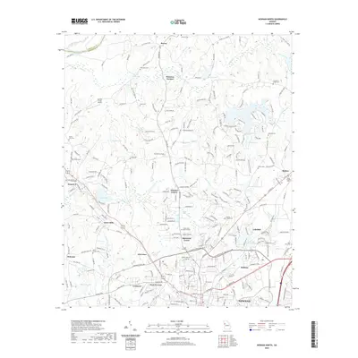
2020 Map of Newnan North
USGS Topo · Published 2020About this map
Dunaway Gardens and the northern outskirts of the city of Newnan define this landscape just south of the Chattahoochee River. This era of development is marked by the interface of older rural settlements like Roscoe and Sargent with emerging residential areas such as Sherwood Forest and Windsor Estates. The industrial legacy of the region is centered at Arneo Mills, while the agricultural roots of the county are still visible in the numerous family-named landmarks and cemeteries dotting the hills.
Find a feature on this map
261 named features on this map. Tap any name to fly to it.
Don’t see what you’re looking for? This feature index may not catch every label — zoom into the map to look around manually.
Map Details
Editions of this 2020 Newnan North Map
This is the sole edition of this map. No revisions or reprints were ever made.
Other maps of this area

1891 · Marietta
USGS Topo · 1:125,000

1895 · Marietta
USGS Topo · 1:125,000

1897 · Marietta
USGS Topo · 1:125,000

1901 · Marietta
USGS Topo · 1:125,000

1953 · Atlanta
USGS Topo · 1:250,000
1954 · Palmetto
USGS Topo · 1:24,000

1957 · Atlanta
USGS Topo · 1:250,000
1958 · Rico
USGS Topo · 1:24,000

1958 · Atlanta
USGS Topo · 1:250,000
1958 · Villa Rica
USGS Topo · 1:62,500