
1951 Map of Newport
USGS Topo · Published 1951About this map
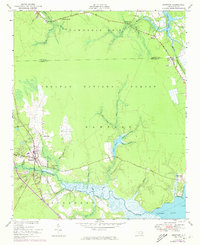
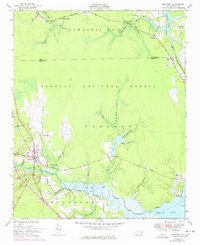
Newport River dominates the southern reaches of this landscape, its tidal waters and marshes defining the coastal geography of the Croatan National Forest. The settlement of Newport serves as a central hub, situated where the Atlantic and North Carolina Railroad intersects the river's drainage network. The map reveals a mid-century infrastructure of early forest roads and drainage projects, including the Boundary Canal near the eastern edge of the survey area. Smaller communities and rural landmarks are scattered throughout the interior, from North Harlowe in the north to the Prison Camp located just east of the main town site. Water bodies like Mill Pond and Hancock Creek indicate a region deeply shaped by its wetlands, where the transition from forest to swamp and river is marked by family-named branches and points such as Union Point and Billys Branch.
Find a feature on this map
59 named features on this map. Tap any name to fly to it.
Don’t see what you’re looking for? This feature index may not catch every label — zoom into the map to look around manually.
Map Details
Editions of this 1951 Newport Map
3 editions found
Other maps of this area

1949 · Havelock
USGS Topo · 1:24,000

1949 · Beaufort
USGS Topo · 1:24,000

1949 · Merrimon
USGS Topo · 1:24,000

1949 · Newport
USGS Topo · 1:24,000

1949 · Salter Path
USGS Topo · 1:24,000

1949 · Mansfield
USGS Topo · 1:24,000

1949 · Cherry Point
USGS Topo · 1:24,000

1949 · Core Creek
USGS Topo · 1:24,000

1949 · Masontown
USGS Topo · 1:24,000

1951 · Salter Path
USGS Topo · 1:24,000