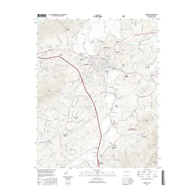
2016 Map of Newport
USGS Topo · Published 2016About this map
The confluence of the Pigeon River and the French Broad River serves as the focal point for this survey of Newport, Tennessee. The town is depicted with its diverse neighborhoods, including West End, Eastport, and Northport, all joined by infrastructure such as the McSween Memorial Bridge and the John W Fisher Bridge. The presence of Tannery Island and Susong Island in the river channels highlights the industrial and geographic character of the waterways before they flow toward Douglas Lake.
Find a feature on this map
83 named features on this map. Tap any name to fly to it.
Don’t see what you’re looking for? This feature index may not catch every label — zoom into the map to look around manually.
Map Details
Editions of this 2016 Newport Map
This is the sole edition of this map. No revisions or reprints were ever made.
Other maps of this area

1883 · Morristown
USGS Topo · 1:125,000

1893 · Mt Guyot
USGS Topo · 1:125,000

1893 · Morristown
USGS Topo · 1:125,000

1895 · Morristown
USGS Topo · 1:125,000

1912 · Mt Guyot
USGS Topo · 1:125,000

1935 · Newport
USGS Topo · 1:48,000

1935 · White Pine
USGS Topo · 1:24,000

1935 · Hartford
USGS Topo · 1:24,000

1935 · English Mountain
USGS Topo · 1:48,000

1935 · Parrottsville
USGS Topo · 1:24,000