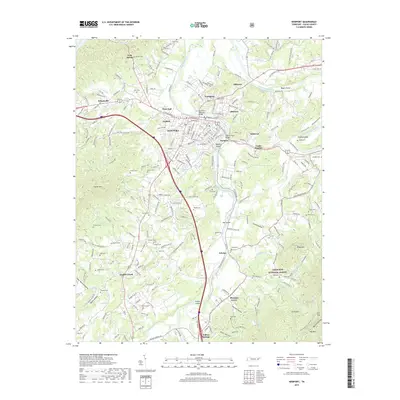
2019 Map of Newport
USGS Topo · Published 2019About this map
The Pigeon River and French Broad River converge near the heart of Newport, shaping a landscape defined by significant water crossings and riverine islands like Tannery Island and Susong Island. This modern survey reveals the intricate development of neighborhood clusters such as Eastport, West End, and Northport, which radiate from the central city. The map documents numerous family burial grounds including Nichols Cem, Baxter Cem, and Mantooth Cem, providing a detailed spatial record for genealogical research in this part of Cocke County.
Find a feature on this map
259 named features on this map. Tap any name to fly to it.
Don’t see what you’re looking for? This feature index may not catch every label — zoom into the map to look around manually.
Map Details
Editions of this 2019 Newport Map
This is the sole edition of this map. No revisions or reprints were ever made.
Other maps of this area

1883 · Morristown
USGS Topo · 1:125,000

1893 · Mt Guyot
USGS Topo · 1:125,000

1893 · Morristown
USGS Topo · 1:125,000

1895 · Morristown
USGS Topo · 1:125,000

1912 · Mt Guyot
USGS Topo · 1:125,000

1935 · Newport
USGS Topo · 1:48,000

1935 · White Pine
USGS Topo · 1:24,000

1935 · Hartford
USGS Topo · 1:24,000

1935 · English Mountain
USGS Topo · 1:48,000

1935 · Parrottsville
USGS Topo · 1:24,000