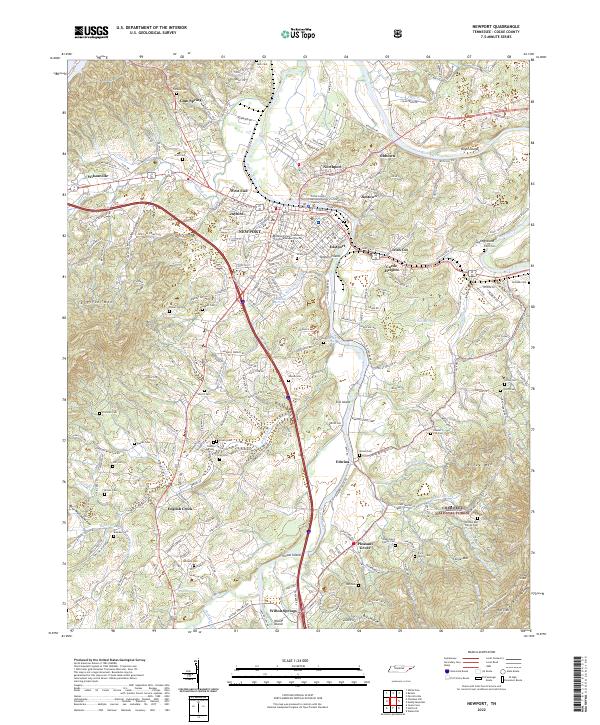
2022 Map of Newport
USGS Topo · Published 2022About this map
The confluence of the Pigeon River and the French Broad River defines the landscape of Newport and its surrounding neighborhoods. This survey detail highlights a dense network of smaller communities including Oldtown, Jimtown, and Eastport, alongside institutional anchors like the Cocke County Courthouse Annex Chancery Court and the Walters State Community College Newport Center. The map serves as a valuable resource for genealogists, documenting numerous family-named burial grounds such as Nichols Cem, Hearst Cem, and the Swan Davis Family Cem.
Find a feature on this map
83 named features on this map. Tap any name to fly to it.
Don’t see what you’re looking for? This feature index may not catch every label — zoom into the map to look around manually.
Map Details
Editions of this 2022 Newport Map
This is the sole edition of this map. No revisions or reprints were ever made.
Other maps of this area

1883 · Morristown
USGS Topo · 1:125,000

1893 · Mt Guyot
USGS Topo · 1:125,000

1893 · Morristown
USGS Topo · 1:125,000

1895 · Morristown
USGS Topo · 1:125,000

1912 · Mt Guyot
USGS Topo · 1:125,000

1935 · Newport
USGS Topo · 1:48,000

1935 · White Pine
USGS Topo · 1:24,000

1935 · Hartford
USGS Topo · 1:24,000

1935 · English Mountain
USGS Topo · 1:48,000

1935 · Parrottsville
USGS Topo · 1:24,000