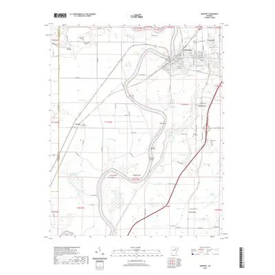
2020 Map of Newport
USGS Topo · Published 2020About this map
The White River carves a deep, winding path through the heart of this Jackson County landscape, creating a series of dramatic river features like Hinkle Bend and Bateman Bend. The regional hub of Newport is anchored by the Jackson County Courthouse, serving as the focal point for a network of roads that extend into the surrounding lowlands. This survey illustrates the intricate relationship between the river’s hydrology and local agriculture, where numerous sloughs and ponds, such as Slaughter Pen Slough and Hog Pond, define the fertile bottomlands.
Find a feature on this map
116 named features on this map. Tap any name to fly to it.
Don’t see what you’re looking for? This feature index may not catch every label — zoom into the map to look around manually.
Map Details
Editions of this 2020 Newport Map
This is the sole edition of this map. No revisions or reprints were ever made.
Other maps of this area

1935 · Newport
USGS Topo · 1:62,500

1935 · Augusta
USGS Topo · 1:62,500

1935 · Tuckerman
USGS Topo · 1:62,500

1940 · Tilton
USGS Topo · 1:62,500

1953 · Memphis
USGS Topo · 1:250,000

1956 · Memphis
USGS Topo · 1:250,000

1956 · Tilton
USGS Topo · 1:62,500
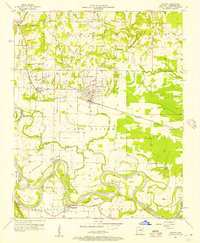
1956 · Newark
USGS Topo · 1:24,000

1957 · Augusta
USGS Topo · 1:62,500

1962 · Jacksonport
USGS Topo · 1:24,000