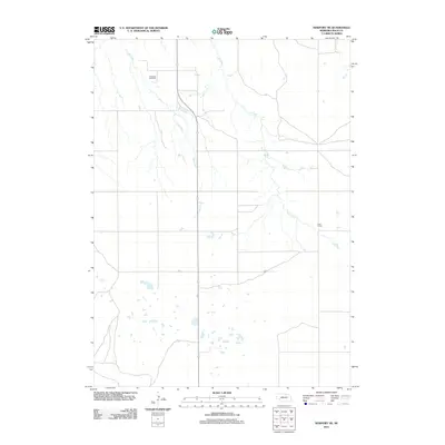
2011 Map of Newport NE
USGS Topo · Published 2011About this map
The rolling plains of Rock County are defined by a network of drainage systems and isolated landmarks in this 2011 survey. The landscape is primarily shaped by the meandering courses of Oak Creek and Ash Creek, which carve through the prairie terrain. Human presence is sparse, centered around essential communal locations that serve the surrounding agricultural community. Kirkwood Cemetery stands as a quiet record of local heritage in the northern portion of the map, while the Lane School site reflects the traditional rural education structure of the Nebraska countryside. The survey captures a moment in time where the section lines of the Public Land Survey System dictate the road network, framing a vista of open land and small prairie ponds.
Find a feature on this map
4 named features on this map. Tap any name to fly to it.
Don’t see what you’re looking for? This feature index may not catch every label — zoom into the map to look around manually.
Map Details
Editions of this 2011 Newport NE Map
This is the sole edition of this map. No revisions or reprints were ever made.
Other maps of this area

1949 · Jamison SW
USGS Topo · 1:24,000

1949 · Carns
USGS Topo · 1:24,000

1950 · Carns
USGS Topo · 1:24,000

1950 · Mariaville
USGS Topo · 1:24,000

1951 · Jamison SW
USGS Topo · 1:24,000

1951 · Naper SW
USGS Topo · 1:24,000

1954 · Stuart
USGS Topo · 1:24,000

1954 · Stuart NW
USGS Topo · 1:24,000

1954 · Newport NE
USGS Topo · 1:24,000

1954 · Newport
USGS Topo · 1:24,000