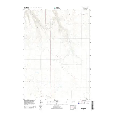
2014 Map of Newport NE
USGS Topo · Published 2014About this map
Kirkwood Cem sits alone in this sparsely settled corner of Rock County, serving as a primary point of interest for those tracing family roots in this northern Nebraska landscape. The terrain is defined by a network of drainage systems, including Oak Cr and Ash Cr, which carve through the plains. The primary artery of travel is Ne-137, a road that bisects the central part of the quadrangle and provides the only major connection through the area. In the northeast, Otter Cr marks the topography, illustrating the natural water drainage patterns of the region. This 2014 survey captures a section of the American West where the infrastructure remains minimal, centered around local landmarks and the natural flow of the creeks across the land.
Find a feature on this map
5 named features on this map. Tap any name to fly to it.
Don’t see what you’re looking for? This feature index may not catch every label — zoom into the map to look around manually.
Map Details
Editions of this 2014 Newport NE Map
This is the sole edition of this map. No revisions or reprints were ever made.
Other maps of this area

1949 · Jamison SW
USGS Topo · 1:24,000

1949 · Carns
USGS Topo · 1:24,000

1950 · Carns
USGS Topo · 1:24,000

1950 · Mariaville
USGS Topo · 1:24,000

1951 · Jamison SW
USGS Topo · 1:24,000

1951 · Naper SW
USGS Topo · 1:24,000

1954 · Stuart
USGS Topo · 1:24,000

1954 · Stuart NW
USGS Topo · 1:24,000

1954 · Newport NE
USGS Topo · 1:24,000

1954 · Newport
USGS Topo · 1:24,000