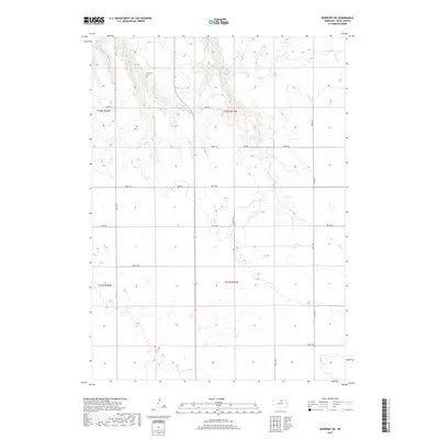
2017 Map of Newport NE
USGS Topo · Published 2017About this map
Kirkwood Cem stands as a primary historical landmark in this section of Rock County, situated among the drainage patterns of several perennial creeks. The landscape is defined by the headwaters and winding paths of Oak Cr, Ash Cr, and Otter Cr, which carve through the Nebraska terrain. A rigid grid of section-line roads, including 888th Rd and 461st Ave, organizes the ranching and agricultural territory. The presence of numerous small wetlands and basins across the southern half of the quadrangle suggests the high water table characteristic of this region. This 2017 survey reflects the enduring rural structure of northern Nebraska, where transportation remains tied to long-established routes like Hay Rd and Amber Rd that connect isolated homesteads and cemeteries to the broader county network.
Find a feature on this map
22 named features on this map. Tap any name to fly to it.
Don’t see what you’re looking for? This feature index may not catch every label — zoom into the map to look around manually.
Map Details
Editions of this 2017 Newport NE Map
This is the sole edition of this map. No revisions or reprints were ever made.
Other maps of this area

1949 · Jamison SW
USGS Topo · 1:24,000

1949 · Carns
USGS Topo · 1:24,000

1950 · Carns
USGS Topo · 1:24,000

1950 · Mariaville
USGS Topo · 1:24,000

1951 · Jamison SW
USGS Topo · 1:24,000

1951 · Naper SW
USGS Topo · 1:24,000

1954 · Stuart
USGS Topo · 1:24,000

1954 · Stuart NW
USGS Topo · 1:24,000

1954 · Newport NE
USGS Topo · 1:24,000

1954 · Newport
USGS Topo · 1:24,000