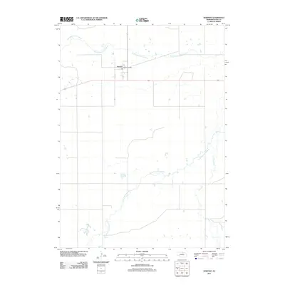
2011 Map of Newport
USGS Topo · Published 2011About this map
Newport serves as the primary hub of activity in this Rock County landscape, situated near the headwaters of the Elkhorn River system. The town's grid is anchored by the Newport Post Office and main thoroughfares such as Cedar St and 2nd St. This region is defined by its drainage patterns, where the North Branch Elkhorn River and South Fork Elkhorn River converge toward the east. The terrain is relatively flat, punctuated by the seasonal winding path of Dry Creek. The layout reflects a classic Nebraska plains settlement pattern, with the town positioned strategically relative to the water resources and the local road network that connects these rural ranchlands.
Find a feature on this map
7 named features on this map. Tap any name to fly to it.
Don’t see what you’re looking for? This feature index may not catch every label — zoom into the map to look around manually.
Map Details
Editions of this 2011 Newport Map
This is the sole edition of this map. No revisions or reprints were ever made.
Other maps of this area

1949 · Carns
USGS Topo · 1:24,000

1950 · Carns
USGS Topo · 1:24,000

1954 · Stuart
USGS Topo · 1:24,000

1954 · Stuart NW
USGS Topo · 1:24,000

1954 · Newport NE
USGS Topo · 1:24,000

1954 · Newport
USGS Topo · 1:24,000

1954 · Newport SW
USGS Topo · 1:24,000

1955 · O'Neill
USGS Topo · 1:250,000

1959 · O'Neill
USGS Topo · 1:250,000

1969 · O'Neill
USGS Topo · 1:250,000