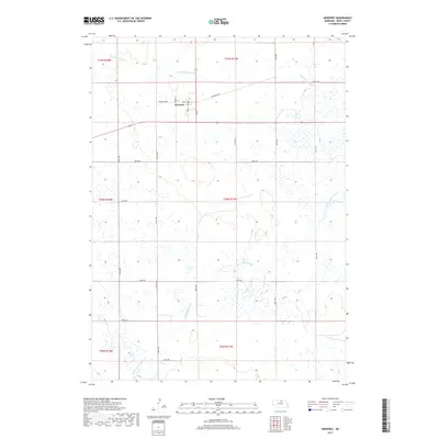
2017 Map of Newport
USGS Topo · Published 2017About this map
Newport serves as the central hub of this northern Nebraska landscape, situated near the headwaters where the N Br Elkhorn River begins its course. The village is organized around a traditional grid featuring Main St, Cedar St, and 2nd St, with the local Po marking the center of community life. This 2017 survey reveals a highly structured rural environment defined by an extensive section-line road network, including 450th Ave and 880th Rd, which carve the prairie into precise agricultural blocks.
Find a feature on this map
30 named features on this map. Tap any name to fly to it.
Don’t see what you’re looking for? This feature index may not catch every label — zoom into the map to look around manually.
Map Details
Editions of this 2017 Newport Map
This is the sole edition of this map. No revisions or reprints were ever made.
Other maps of this area

1949 · Carns
USGS Topo · 1:24,000

1950 · Carns
USGS Topo · 1:24,000

1954 · Stuart
USGS Topo · 1:24,000

1954 · Stuart NW
USGS Topo · 1:24,000

1954 · Newport NE
USGS Topo · 1:24,000

1954 · Newport
USGS Topo · 1:24,000

1954 · Newport SW
USGS Topo · 1:24,000

1955 · O'Neill
USGS Topo · 1:250,000

1959 · O'Neill
USGS Topo · 1:250,000

1969 · O'Neill
USGS Topo · 1:250,000