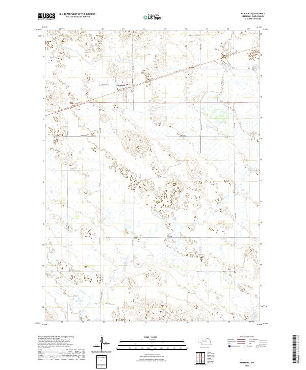
2021 Map of Newport
USGS Topo · Published 2021About this map
Newport sits as a primary settlement in Rock County, defined by its position along the Cowboy Trl and the intricate hydrology of the Sandhills region. The town's grid, including Main St and 2nd St, is anchored by the local Po. Outside the village center, the landscape is shaped by the wandering courses of the N Br Elkhorn River and the S Fork Elkhorn River. These watercourses, along with Dry Cr, dictate the layout of the rural road network, where routes like Blueberry Rd and Brookside Rd navigate around countless small wetlands and seasonal ponds. This 2021 survey illustrates the modern configuration of the Nebraska plains, where historic transportation corridors have transitioned into recreational paths while the fundamental water-driven geography of the Elkhorn forks remains the dominant feature of the terrain.
Find a feature on this map
30 named features on this map. Tap any name to fly to it.
Don’t see what you’re looking for? This feature index may not catch every label — zoom into the map to look around manually.
Map Details
Editions of this 2021 Newport Map
This is the sole edition of this map. No revisions or reprints were ever made.
Other maps of this area

1949 · Carns
USGS Topo · 1:24,000

1950 · Carns
USGS Topo · 1:24,000

1954 · Stuart
USGS Topo · 1:24,000

1954 · Stuart NW
USGS Topo · 1:24,000

1954 · Newport NE
USGS Topo · 1:24,000

1954 · Newport
USGS Topo · 1:24,000

1954 · Newport SW
USGS Topo · 1:24,000

1955 · O'Neill
USGS Topo · 1:250,000

1959 · O'Neill
USGS Topo · 1:250,000

1969 · O'Neill
USGS Topo · 1:250,000