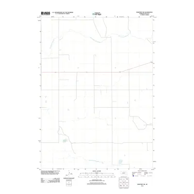
2011 Map of Newport SW
USGS Topo · Published 2011About this map
The North Branch Elkhorn River meanders across the northern portion of this Nebraska landscape, defining a hydrology that feeds into the broader Elkhorn system. In the southern reaches, the South Fork Elkhorn River parallels this drainage pattern, illustrating the water-rich nature of this Rock County terrain. This 2011 survey by the U.S. Geological Survey shows a sparsely populated rural landscape where the land is primarily divided by a strict section-line road grid, characteristic of the Great Plains' development. A primary east-west corridor, marked as highway 20, bisects the center of the sheet, providing the main transportation link through the area. Local landmarks such as Adams Lake serve as distinct points of interest for those studying the natural geography and land use of the region.
Find a feature on this map
4 named features on this map. Tap any name to fly to it.
Don’t see what you’re looking for? This feature index may not catch every label — zoom into the map to look around manually.
Map Details
Editions of this 2011 Newport SW Map
This is the sole edition of this map. No revisions or reprints were ever made.
Other maps of this area

1949 · Riverview
USGS Topo · 1:24,000

1949 · Carns
USGS Topo · 1:24,000

1950 · Carns
USGS Topo · 1:24,000

1950 · Riverview
USGS Topo · 1:24,000

1954 · Newport NE
USGS Topo · 1:24,000

1954 · Bassett
USGS Topo · 1:24,000

1954 · Newport
USGS Topo · 1:24,000

1954 · Newport SW
USGS Topo · 1:24,000

1955 · O'Neill
USGS Topo · 1:250,000

1959 · O'Neill
USGS Topo · 1:250,000