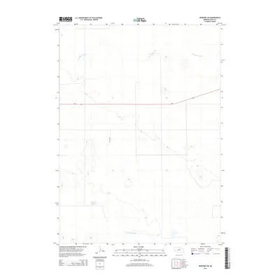
2014 Map of Newport SW
USGS Topo · Published 2014About this map
N Br Elkhorn River and the S Fork Elkhorn River define this rural landscape in Rock County, carving paths through the Nebraska sandhills. This survey captures a specific pastoral moment where topography and water sources dictate the placement of human infrastructure. Significant water features like Adams Lake provide focal points in an area largely characterized by natural drainage patterns. The map shows the long, straight trajectory of Us-20 as it crosses the northern portion of the quadrangle, serving as the primary east-west artery for the region. Local access is maintained through routes like 451st Ave, which illustrates the grid-based land division common to the Great Plains. The sparse distribution of named features highlights the open, ranch-oriented character of this part of Nebraska in the early 21st century.
Find a feature on this map
6 named features on this map. Tap any name to fly to it.
Don’t see what you’re looking for? This feature index may not catch every label — zoom into the map to look around manually.
Map Details
Editions of this 2014 Newport SW Map
This is the sole edition of this map. No revisions or reprints were ever made.
Other maps of this area

1949 · Riverview
USGS Topo · 1:24,000

1949 · Carns
USGS Topo · 1:24,000

1950 · Carns
USGS Topo · 1:24,000

1950 · Riverview
USGS Topo · 1:24,000

1954 · Newport NE
USGS Topo · 1:24,000

1954 · Bassett
USGS Topo · 1:24,000

1954 · Newport
USGS Topo · 1:24,000

1954 · Newport SW
USGS Topo · 1:24,000

1955 · O'Neill
USGS Topo · 1:250,000

1959 · O'Neill
USGS Topo · 1:250,000