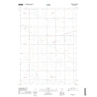
2017 Map of Newport SW
USGS Topo · Published 2017About this map
The headwaters of the Elkhorn River system dominate this part of Rock County, where the N Br Elkhorn River and S Fork Elkhorn River meander through a landscape defined by seasonal wetlands and high plains water bodies like Adams Lake. This 2017 survey illustrates the sparse, grid-like development of the Nebraska Sandhills, where long north-south corridors such as 450th Ave and Commodore Ave provide the primary access to isolated ranchlands. The mapping of small local routes like Buffalo Rd and Coyote Rd reflects the rural character of the region, where land use is dictated by the subtle drainage patterns and the township divisions across t30n r18w and surrounding sections.
Find a feature on this map
24 named features on this map. Tap any name to fly to it.
Don’t see what you’re looking for? This feature index may not catch every label — zoom into the map to look around manually.
Map Details
Editions of this 2017 Newport SW Map
This is the sole edition of this map. No revisions or reprints were ever made.
Other maps of this area

1949 · Riverview
USGS Topo · 1:24,000

1949 · Carns
USGS Topo · 1:24,000

1950 · Carns
USGS Topo · 1:24,000

1950 · Riverview
USGS Topo · 1:24,000

1954 · Newport NE
USGS Topo · 1:24,000

1954 · Bassett
USGS Topo · 1:24,000

1954 · Newport
USGS Topo · 1:24,000

1954 · Newport SW
USGS Topo · 1:24,000

1955 · O'Neill
USGS Topo · 1:250,000

1959 · O'Neill
USGS Topo · 1:250,000