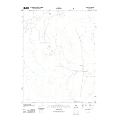
2012 Map of Newville
USGS Topo · Published 2012About this map
Newville sits at the intersection of a complex drainage system in Western Tehama County, where numerous seasonal creeks carve through the landscape. The geography is defined by a series of north-south running ridges and buttes, notably Williams Butte to the north and the prominent Rocky Ridge further south. These features flank a network of waterways including Thomes Cr, N Fork Stony Cr, and the winding Salt Cr.
Find a feature on this map
20 named features on this map. Tap any name to fly to it.
Don’t see what you’re looking for? This feature index may not catch every label — zoom into the map to look around manually.
Map Details
Editions of this 2012 Newville Map
This is the sole edition of this map. No revisions or reprints were ever made.
Other maps of this area

1919 · Fruto
USGS Topo · 1:62,500

1919 · Elk Creek
USGS Topo · 1:62,500

1944 · Fruto
USGS Topo · 1:62,500

1944 · Flournoy
USGS Topo · 1:62,500

1948 · Elk Creek
USGS Topo · 1:62,500

1952 · Paskenta
USGS Topo · 1:62,500

1957 · Elk Creek
USGS Topo · 1:62,500

1957 · Ukiah
USGS Topo · 1:250,000
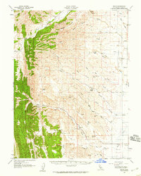
1958 · Fruto
USGS Topo · 1:62,500
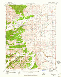
1958 · Flournoy
USGS Topo · 1:62,500