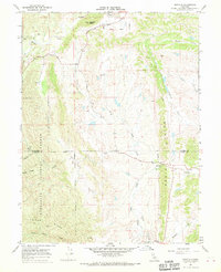
1967 Map of Newville
USGS Topo · Published 1970About this map
Newville sits at the junction of several drainages along the border of Glenn and Tehama Counties, representing a rural settlement node in the late 1960s. The landscape is defined by the prominent Rocky Ridge and the southern reaches of Williams Butte, while the Mendocino National Forest boundary marks the western edge of the quadrangle. Transport and historical boundaries are clearly delineated by the Indian Treaty Boundary Road, which follows a northern ridgeline. The hydrology of the region is complex, with Stony Creek and Thomes Creek serving as primary watercourses fed by numerous tributaries such as Salt Creek and Heifer Creek. Traces of earlier activity appear at a Cem near the northwest corner and a Prospect to the south. The mapping of Heifer Ridge and Burrows Gap reveals the transition between the Sacramento Valley foothills and the higher elevations of the Coast Range.
Find a feature on this map
29 named features on this map. Tap any name to fly to it.
Don’t see what you’re looking for? This feature index may not catch every label — zoom into the map to look around manually.
Map Details
Editions of this 1967 Newville Map
2 editions found
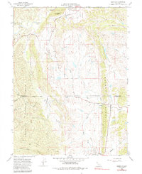
Other maps of this area

1919 · Fruto
USGS Topo · 1:62,500

1919 · Elk Creek
USGS Topo · 1:62,500

1944 · Fruto
USGS Topo · 1:62,500

1944 · Flournoy
USGS Topo · 1:62,500

1948 · Elk Creek
USGS Topo · 1:62,500

1952 · Paskenta
USGS Topo · 1:62,500

1957 · Elk Creek
USGS Topo · 1:62,500

1957 · Ukiah
USGS Topo · 1:250,000
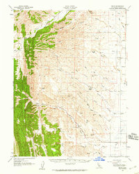
1958 · Fruto
USGS Topo · 1:62,500
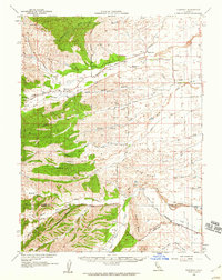
1958 · Flournoy
USGS Topo · 1:62,500