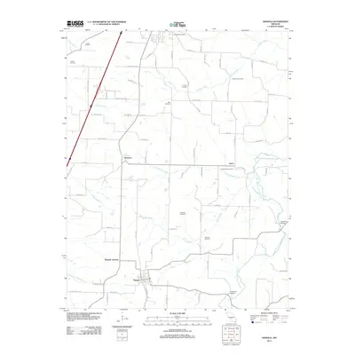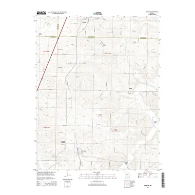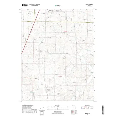
2021 Map of Niangua
USGS Topo · Published 2021About this map
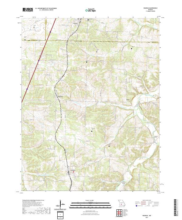
Niangua and Conway anchor this section of the Ozarks, where the BNSF Railway corridor parallels the modern highway route through a landscape of creek-cut valleys. The terrain is defined by the headwaters and branches of the Osage Fork Gasconade River and the E Fork Niangua River, creating a complex network of ridges and hollows that shaped early settlement patterns. This area, spanning the intersection of Dallas, Laclede, and Webster Counties, retains numerous small family and community burial grounds that point to the region's agricultural roots, including the Letterman Cem and Hendrix Cem. Traces of older transport networks remain visible in river crossings like Hamilton Bridge and Copening Bridge, while the scattered locations of Sampson and Vance suggest the rural centers that once served this Missouri countryside.
Find a feature on this map
68 named features on this map. Tap any name to fly to it.
Don’t see what you’re looking for? This feature index may not catch every label — zoom into the map to look around manually.
Map Details
Editions of this 2021 Niangua Map
This is the sole edition of this map. No revisions or reprints were ever made.
Historical Maps of Conway Through Time
7 maps found