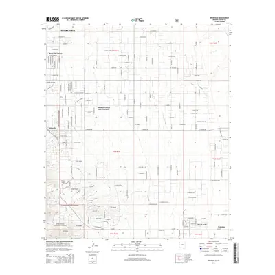
2014 Map of Nicksville
USGS Topo · Published 2014About this map
The Huachuca Mountains define the western landscape of this Cochise County region, where the rugged slopes of the Coronado National Forest meet the growing residential developments of Sierra Vista. The map reveals a transition from mountainous terrain to the flatter desert basin leading toward the San Pedro River in the east. Numerous drainages such as Carr Canyon, Miller Canyon, and Ash Canyon cut through the foothills, providing geographical landmarks for the area's rural and suburban expansion.
Find a feature on this map
80 named features on this map. Tap any name to fly to it.
Don’t see what you’re looking for? This feature index may not catch every label — zoom into the map to look around manually.
Map Details
Editions of this 2014 Nicksville Map
This is the sole edition of this map. No revisions or reprints were ever made.
Other maps of this area

1914 · Hereford
USGS Topo · 1:125,000

1915 · Benson
USGS Topo · 1:125,000

1922 · Sunnyside
USGS Topo · 1:62,500

1932 · Stark
USGS Topo · 1:62,500

1932 · Fairbank
USGS Topo · 1:62,500

1938 · Huachuca
USGS Topo · 1:62,500

1938 · Sunnyside
USGS Topo · 1:62,500

1943 · Benson
USGS Topo · 1:125,000

1948 · Miller Peak
USGS Topo · 1:24,000

1948 · Sunnyside SE
USGS Topo · 1:24,000