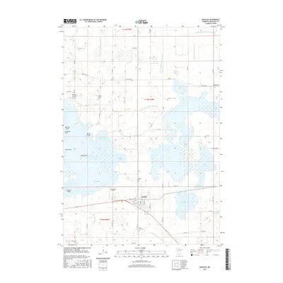
2016 Map of Nicollet
USGS Topo · Published 2016About this map
Swan Lake dominates this portion of Nicollet County, creating a complex shoreline of points and bays including Nicollet Bay, Peterson Bay, and Currier Bay. The landscape is a testament to the region's managed water systems, defined by an extensive network of drainage channels such as County Ditch Number Thirty Six and County Ditch Number Seventy-six. This intricate hydrology supports a series of interconnected water bodies, from the larger Middle Lake to the smaller Mud Lake and Little Lake.
Find a feature on this map
66 named features on this map. Tap any name to fly to it.
Don’t see what you’re looking for? This feature index may not catch every label — zoom into the map to look around manually.
Map Details
Editions of this 2016 Nicollet Map
This is the sole edition of this map. No revisions or reprints were ever made.
Other maps of this area

1951 · Mankato West
USGS Topo · 1:62,500

1953 · New Ulm
USGS Topo · 1:250,000

1957 · New Ulm
USGS Topo · 1:250,000

1958 · New Ulm
USGS Topo · 1:250,000

1964 · Bernadotte
USGS Topo · 1:24,000

1964 · Courtland
USGS Topo · 1:24,000

1965 · Norseland
USGS Topo · 1:24,000

1965 · New Sweden
USGS Topo · 1:24,000

1965 · North Star
USGS Topo · 1:24,000

1965 · Cambria
USGS Topo · 1:24,000