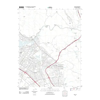
2012 Map of Niles
USGS Topo · Published 2012About this map
The Oroysom Mission San Jose District and its adjacent Mission San Jose Cem anchor the southeastern portion of this landscape, representing a deep layer of California’s religious and colonial history. The map captures a transition from the dense urban developments of the Irvington District and Centerville District into the steeper terrain of the Diablo Range. Significant engineering and transit corridors are visible, including the Hetch Hetchy Aqueduct and the rail hub at Niles Junction.
Find a feature on this map
55 named features on this map. Tap any name to fly to it.
Don’t see what you’re looking for? This feature index may not catch every label — zoom into the map to look around manually.
Map Details
Editions of this 2012 Niles Map
This is the sole edition of this map. No revisions or reprints were ever made.
Other maps of this area

1889 · San Jose
USGS Topo · 1:62,500

1897 · San Jose
USGS Topo · 1:62,500

1897 · Palo Alto
USGS Topo · 1:62,500

1899 · San Jose
USGS Topo · 1:62,500

1899 · Palo Alto
USGS Topo · 1:62,500

1899 · Haywards
USGS Topo · 1:62,500

1902 · Santa Cruz
USGS Topo · 1:125,000

1906 · Pleasanton
USGS Topo · 1:62,500

1915 · Haywards
USGS Topo · 1:62,500

1941 · Pleasanton
USGS Topo · 1:62,500