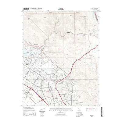
2015 Map of Niles
USGS Topo · Published 2015About this map
Fremont and Newark anchor this survey of the East Bay, where suburban expansion meets the steep ridges of the Diablo Range. The map captures the distinct identities of the historical townships that formed the modern city, including the Niles District, Centerville District, Irvington District, and Mission San Jose District. This area is a critical corridor for regional infrastructure, tracing the path of the Hetch Hetchy Aqueduct and the S Bay Aqueduct as they traverse the landscape alongside the Southern Pacific rail lines.
Find a feature on this map
72 named features on this map. Tap any name to fly to it.
Don’t see what you’re looking for? This feature index may not catch every label — zoom into the map to look around manually.
Map Details
Editions of this 2015 Niles Map
This is the sole edition of this map. No revisions or reprints were ever made.
Other maps of this area

1889 · San Jose
USGS Topo · 1:62,500

1897 · San Jose
USGS Topo · 1:62,500

1897 · Palo Alto
USGS Topo · 1:62,500

1899 · San Jose
USGS Topo · 1:62,500

1899 · Palo Alto
USGS Topo · 1:62,500

1899 · Haywards
USGS Topo · 1:62,500

1902 · Santa Cruz
USGS Topo · 1:125,000

1906 · Pleasanton
USGS Topo · 1:62,500

1915 · Haywards
USGS Topo · 1:62,500

1941 · Pleasanton
USGS Topo · 1:62,500