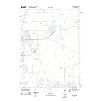
2011 Map of Niles East
USGS Topo · Published 2011About this map
The city of Niles and its northern outskirts, North Niles, sit along the banks of the Dowagiac River in this detailed 2011 survey. The landscape transitions from the urban grid of Niles to a more rural pattern of scattered lakes and family cemeteries. Barron Lake serves as a focal point for local settlement, accompanied by its namesake Barron Lake Cemetery, while the surrounding terrain is marked by smaller water bodies like Dibble Lake and the marshy Mudd Lake.
Find a feature on this map
40 named features on this map. Tap any name to fly to it.
Don’t see what you’re looking for? This feature index may not catch every label — zoom into the map to look around manually.
Map Details
Editions of this 2011 Niles East Map
This is the sole edition of this map. No revisions or reprints were ever made.
Other maps of this area

1927 · Niles
USGS Topo · 1:62,500

1930 · Niles
USGS Topo · 1:62,500

1943 · Niles
USGS Topo · 1:62,500

1945 · Cassopolis
USGS Topo · 1:62,500

1947 · Cassopolis
USGS Topo · 1:62,500

1953 · Chicago
USGS Topo · 1:250,000

1957 · Chicago
USGS Topo · 1:250,000

1958 · South Bend East
USGS Topo · 1:24,000

1958 · South Bend West
USGS Topo · 1:24,000

1958 · Osceola
USGS Topo · 1:24,000