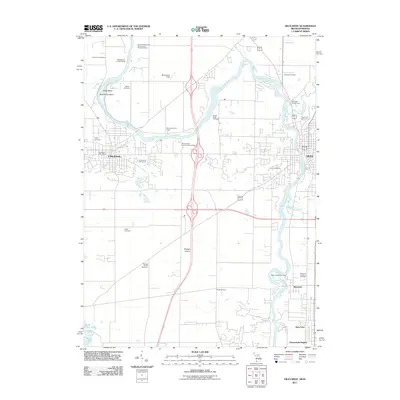
2011 Map of Niles West
USGS Topo · Published 2011About this map
The Saint Joseph River winds through this landscape on the border of Michigan and Indiana, anchoring a region of well-established riverfront communities and prairie settlements. To the west, Buchanan is detailed alongside its local landmarks like the Buchanan Post Office, while the city of Niles dominates the eastern bank of the river. The southern portion of the map is defined by the Portage Prairie, a distinct agricultural and topographical feature where the Portage Prairie Cemetery sits as a legacy of early settlement patterns.
Find a feature on this map
35 named features on this map. Tap any name to fly to it.
Don’t see what you’re looking for? This feature index may not catch every label — zoom into the map to look around manually.
Map Details
Editions of this 2011 Niles West Map
This is the sole edition of this map. No revisions or reprints were ever made.
Other maps of this area

1927 · Niles
USGS Topo · 1:62,500

1930 · Niles
USGS Topo · 1:62,500

1943 · Niles
USGS Topo · 1:62,500

1945 · Cassopolis
USGS Topo · 1:62,500

1947 · Cassopolis
USGS Topo · 1:62,500

1953 · Chicago
USGS Topo · 1:250,000

1957 · Chicago
USGS Topo · 1:250,000

1958 · South Bend East
USGS Topo · 1:24,000

1958 · South Bend West
USGS Topo · 1:24,000

1958 · Lydick
USGS Topo · 1:24,000