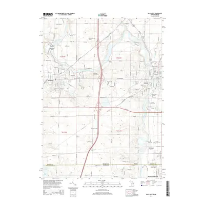
2014 Map of Niles West
USGS Topo · Published 2014About this map
The Saint Joseph River carves a winding path through this Michigan-Indiana borderland, anchoring the historic settlements of Buchanan and Niles. The landscape transitions from the developed river corridors to the open agricultural expanses of Portage Prairie in the south. This 2014 survey reveals a rich cemetery record essential for genealogical research, including Portage Prairie Cem, Bertrand Protestant Cem, and the Saint Josephs Cem near the state line. Near the river, the Father Allouez Grave Site serves as a reminder of early missionary activity in the region. The map also documents the vanished-town character of Bertrand, once a significant village, alongside specialized landmarks like Wolverton's Field Airport and the Ann Beason Purdy Groves.
Find a feature on this map
186 named features on this map. Tap any name to fly to it.
Don’t see what you’re looking for? This feature index may not catch every label — zoom into the map to look around manually.
Map Details
Editions of this 2014 Niles West Map
This is the sole edition of this map. No revisions or reprints were ever made.
Other maps of this area

1927 · Niles
USGS Topo · 1:62,500

1930 · Niles
USGS Topo · 1:62,500

1943 · Niles
USGS Topo · 1:62,500

1945 · Cassopolis
USGS Topo · 1:62,500

1947 · Cassopolis
USGS Topo · 1:62,500

1953 · Chicago
USGS Topo · 1:250,000

1957 · Chicago
USGS Topo · 1:250,000

1958 · South Bend East
USGS Topo · 1:24,000

1958 · South Bend West
USGS Topo · 1:24,000

1958 · Lydick
USGS Topo · 1:24,000