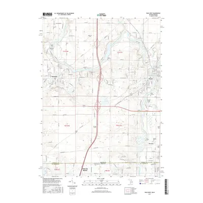
2017 Map of Niles West
USGS Topo · Published 2017About this map
Saint Joseph River anchors this landscape, winding southward from Buchanan through the historic Portage Prairie toward the northern edge of South Bend. The river's path is marked by distinctive features such as Batchelors Island and Debs Island, while the surrounding terrain reflects a deeply rooted community layout. Numerous small burial grounds, including the Sherwood Cem and Portage Prairie Cem, are preserved across the quadrangle, illustrating the early settlement patterns of Berrien and St. Joseph counties.
Find a feature on this map
78 named features on this map. Tap any name to fly to it.
Don’t see what you’re looking for? This feature index may not catch every label — zoom into the map to look around manually.
Map Details
Editions of this 2017 Niles West Map
This is the sole edition of this map. No revisions or reprints were ever made.
Other maps of this area

1927 · Niles
USGS Topo · 1:62,500

1930 · Niles
USGS Topo · 1:62,500

1943 · Niles
USGS Topo · 1:62,500

1945 · Cassopolis
USGS Topo · 1:62,500

1947 · Cassopolis
USGS Topo · 1:62,500

1953 · Chicago
USGS Topo · 1:250,000

1957 · Chicago
USGS Topo · 1:250,000

1958 · South Bend East
USGS Topo · 1:24,000

1958 · South Bend West
USGS Topo · 1:24,000

1958 · Lydick
USGS Topo · 1:24,000