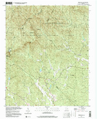
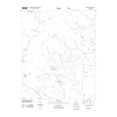
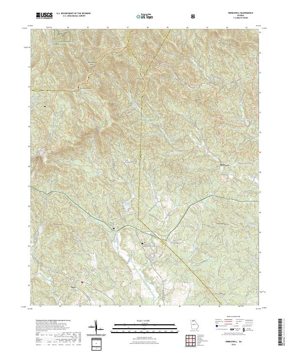
1997 Map of Nimblewill
USGS Topo · Published 2000About this map
Amicalola Mountain dominates this northern Georgia landscape, where the ridges of the Blue Ridge meet the extensive protected lands of the Chattahoochee National Forest. The map documents a rugged area defined by its water and high points, including the landmark Springer Mtn and Frosty Mtn, the latter featuring a Lookout Tower. Settlement is sparse and largely concentrated in the lower elevations near Emma and Nimblewill, with numerous mountain streams like Nimblewill Creek and Cochrans Creek carving through the terrain.
Find a feature on this map
47 named features on this map. Tap any name to fly to it.
Don’t see what you’re looking for? This feature index may not catch every label — zoom into the map to look around manually.
Map Details
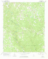
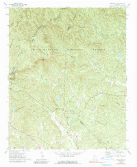
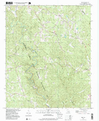
Editions of this 1997 Nimblewill Map
This is the sole edition of this map. No revisions or reprints were ever made.
Historical Maps of Afton Through Time
14 maps found
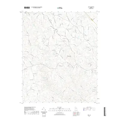
1964 Juno
Dawson County, GA
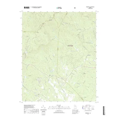
1971 Nimblewill
Dawson County, GA
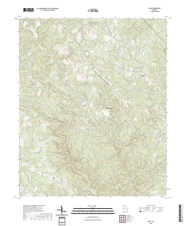
1997 Juno
Dawson County, GA
1997 Nimblewill
Dawson County, GA

2011 Juno
Dawson County, GA
2011 Nimblewill
Dawson County, GA
2014 Juno
Dawson County, GA
2014 Nimblewill
Dawson County, GA

2017 Juno
Dawson County, GA
2017 Nimblewill
Dawson County, GA
2020 Juno
Dawson County, GA
2020 Nimblewill
Dawson County, GA
2024 Juno
Dawson County, GA
2024 Nimblewill
Dawson County, GA