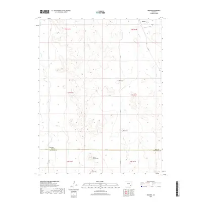
2019 Map of Ninaview
USGS Topo · Published 2019About this map
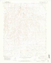
Ruxton and Ninaview sit within a high plains landscape defined by deep draws and isolated rocky outcrops along the border of Bent and Las Animas Counties. The area is characterized by drainage systems like Rule Cr and Johnny Cr, which carve through the terrain to create distinctive landforms. Notable among these are Devils Rocking Chair and Eagle Cliff, features that likely served as long-standing local landmarks for early travelers and ranching families. The rural infrastructure is composed of a network of county roads, including Co RD 90 and Co RD 14, providing access to this sparsely populated region where State Hwy 101 enters from the northeast near Ruxton Draw. This survey illustrates the relationship between the arid geography and the limited road networks that connect these remote Colorado outposts.
Find a feature on this map
28 named features on this map. Tap any name to fly to it.
Don’t see what you’re looking for? This feature index may not catch every label — zoom into the map to look around manually.
Map Details
Editions of this 2019 Ninaview Map
This is the sole edition of this map. No revisions or reprints were ever made.
Other maps of this area

1891 · Higbee
USGS Topo · 1:125,000

1893 · Higbee
USGS Topo · 1:125,000

1955 · La Junta
USGS Topo · 1:250,000

1958 · La Junta
USGS Topo · 1:250,000

1966 · Toonerville SE
USGS Topo · 1:24,000
1966 · Toonerville
USGS Topo · 1:24,000
1966 · Turkey Canyon
USGS Topo · 1:24,000

1968 · La Junta
USGS Topo · 1:250,000
1971 · Ninaview
USGS Topo · 1:24,000
1971 · Walker Canyon
USGS Topo · 1:24,000