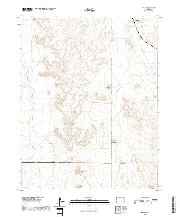
2022 Map of Ninaview
USGS Topo · Published 2022About this map
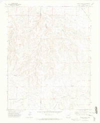
Ninaview and the surrounding high plains of southeastern Colorado are defined by a network of ephemeral drainage patterns and distinct topographic markers on this modern survey. Situated at the border of Bent and Las Animas counties, the landscape transitions from the flats near the small settlement of Ruxton in the north toward the rugged breaks in the south. The terrain is punctuated by significant landmarks like the basalt-capped Devils Rocking Chair and the prominent Eagle Cliff, which offer a stark contrast to the surrounding draws.
Find a feature on this map
27 named features on this map. Tap any name to fly to it.
Don’t see what you’re looking for? This feature index may not catch every label — zoom into the map to look around manually.
Map Details
Editions of this 2022 Ninaview Map
This is the sole edition of this map. No revisions or reprints were ever made.
Other maps of this area

1891 · Higbee
USGS Topo · 1:125,000

1893 · Higbee
USGS Topo · 1:125,000

1955 · La Junta
USGS Topo · 1:250,000

1958 · La Junta
USGS Topo · 1:250,000

1966 · Toonerville SE
USGS Topo · 1:24,000
1966 · Toonerville
USGS Topo · 1:24,000
1966 · Turkey Canyon
USGS Topo · 1:24,000

1968 · La Junta
USGS Topo · 1:250,000
1971 · Ninaview
USGS Topo · 1:24,000
1971 · Walker Canyon
USGS Topo · 1:24,000