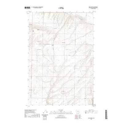
2020 Map of Nine Canyon
USGS Topo · Published 2020About this map
The Horse Heaven Hills define the dramatic verticality of this Benton County landscape, where deep drainage systems like Nine Canyon and Fourmile Canyon carve through the basalt plateaus. At this point in the early twenty-first century, the land remains largely agricultural and rural, divided by a grid of family-named roads including S Upper Blair Rd and Les Blair Rd. A notable piece of irrigation infrastructure, the Division Four Canal, cuts across the northern reaches near a prominent landform known simply as The Butte. The map illustrates the transition from the high ridges down through Switzler Canyon, showing how modern access roads like S Nine Canyon Rd and Meals Rd negotiate the difficult terrain between the higher elevations and the flatter agricultural basins below.
Find a feature on this map
24 named features on this map. Tap any name to fly to it.
Don’t see what you’re looking for? This feature index may not catch every label — zoom into the map to look around manually.
Map Details
Editions of this 2020 Nine Canyon Map
This is the sole edition of this map. No revisions or reprints were ever made.
Other maps of this area

1908 · Umatilla
USGS Topo · 1:125,000

1915 · Wallulah
USGS Topo · 1:96,000

1917 · Pasco
USGS Topo · 1:125,000

1918 · Wallula
USGS Topo · 1:125,000

1935 · Pendleton
USGS Topo · 1:125,000

1953 · Pendleton
USGS Topo · 1:250,000

1953 · Walla Walla
USGS Topo · 1:250,000

1956 · Pendleton
USGS Topo · 1:250,000

1958 · Walla Walla
USGS Topo · 1:250,000

1962 · Hat Rock
USGS Topo · 1:24,000