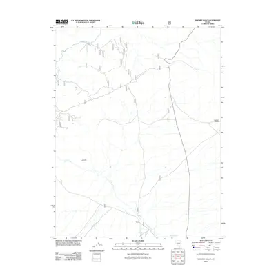
2011 Map of Ninemile Ranch
USGS Topo · Published 2011About this map
Ninemile Ranch serves as a primary geographic anchor in this high-desert region of Lyon County, where water sources dictate the placement of human activity. The land is defined by the drainage of Rough Creek and Bodie Creek as they flow toward their confluence near the ranch, eventually contributing to the East Walker River in the north. A notable man-made feature of the range is the Nine Mile Drift Fence, a landmark that reflects the area's history of livestock management and open-range navigation. To the east, the terrain rises toward Baldwin Canyon, while a network of forest and ranch roads, including Nat For Dev Rd 845, provides the only modern passage through this remote landscape. The map illustrates a contemporary view of traditional Nevada ranching territory, maintaining a sparse footprint centered on vital creek beds and canyon corridors.
Find a feature on this map
29 named features on this map. Tap any name to fly to it.
Don’t see what you’re looking for? This feature index may not catch every label — zoom into the map to look around manually.
Map Details
Editions of this 2011 Ninemile Ranch Map
This is the sole edition of this map. No revisions or reprints were ever made.
Other maps of this area

1891 · Wellington
USGS Topo · 1:125,000

1893 · Wellington
USGS Topo · 1:125,000

1909 · Hawthorne
USGS Topo · 1:250,000

1909 · Bridgeport
USGS Topo · 1:125,000

1911 · Bridgeport
USGS Topo · 1:125,000

1911 · Hawthorne
USGS Topo · 1:250,000

1915 · Hawthorne
USGS Topo · 1:250,000

1920 · Bridgeport
USGS Topo · 1:125,000

1948 · Walker Lake
USGS Topo · 1:250,000

1956 · Mt. Grant
USGS Topo · 1:62,500