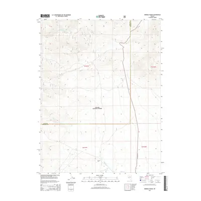
2014 Map of Ninemile Ranch
USGS Topo · Published 2014About this map
Ninemile Ranch serves as a primary geographic anchor in this remote high-desert terrain where the borders of Lyon and Mineral counties meet. The landscape is defined by the drainage systems of Rough Cr and Bodie Cr, which flow toward the northern edge of the map where the East Walker River cuts through the topography. Large portions of the territory are managed as part of the Toiyabe National Forest, showing a transition from open ranching land to protected mountain foothills. Transportation in this area is limited to rugged tracks like Anchorite Pass Rd, reflecting the sparse settlement patterns and the dominance of the natural environment over human infrastructure in this part of the Great Basin.
Find a feature on this map
12 named features on this map. Tap any name to fly to it.
Don’t see what you’re looking for? This feature index may not catch every label — zoom into the map to look around manually.
Map Details
Editions of this 2014 Ninemile Ranch Map
This is the sole edition of this map. No revisions or reprints were ever made.
Other maps of this area

1891 · Wellington
USGS Topo · 1:125,000

1893 · Wellington
USGS Topo · 1:125,000

1909 · Hawthorne
USGS Topo · 1:250,000

1909 · Bridgeport
USGS Topo · 1:125,000

1911 · Bridgeport
USGS Topo · 1:125,000

1911 · Hawthorne
USGS Topo · 1:250,000

1915 · Hawthorne
USGS Topo · 1:250,000

1920 · Bridgeport
USGS Topo · 1:125,000

1948 · Walker Lake
USGS Topo · 1:250,000

1956 · Mt. Grant
USGS Topo · 1:62,500