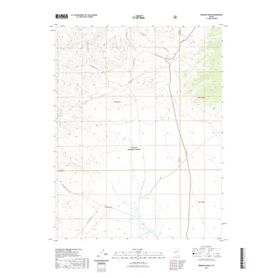
2021 Map of Ninemile Ranch
USGS Topo · Published 2021About this map
Toiyabe National Forest land dominates this high-altitude landscape along the border of Lyon and Mineral Counties. The terrain is defined by the winding course of the East Walker River in the north and a network of seasonal drainages including Rough Cr and Bodie Cr further south. A notable geothermal feature, Booker Hot Spring, sits just south of the river, while the local history of extraction is marked by the presence of the Homestead Mine Trl.
Find a feature on this map
15 named features on this map. Tap any name to fly to it.
Don’t see what you’re looking for? This feature index may not catch every label — zoom into the map to look around manually.
Map Details
Editions of this 2021 Ninemile Ranch Map
This is the sole edition of this map. No revisions or reprints were ever made.
Other maps of this area

1891 · Wellington
USGS Topo · 1:125,000

1893 · Wellington
USGS Topo · 1:125,000

1909 · Hawthorne
USGS Topo · 1:250,000

1909 · Bridgeport
USGS Topo · 1:125,000

1911 · Bridgeport
USGS Topo · 1:125,000

1911 · Hawthorne
USGS Topo · 1:250,000

1915 · Hawthorne
USGS Topo · 1:250,000

1920 · Bridgeport
USGS Topo · 1:125,000

1948 · Walker Lake
USGS Topo · 1:250,000

1956 · Mt. Grant
USGS Topo · 1:62,500