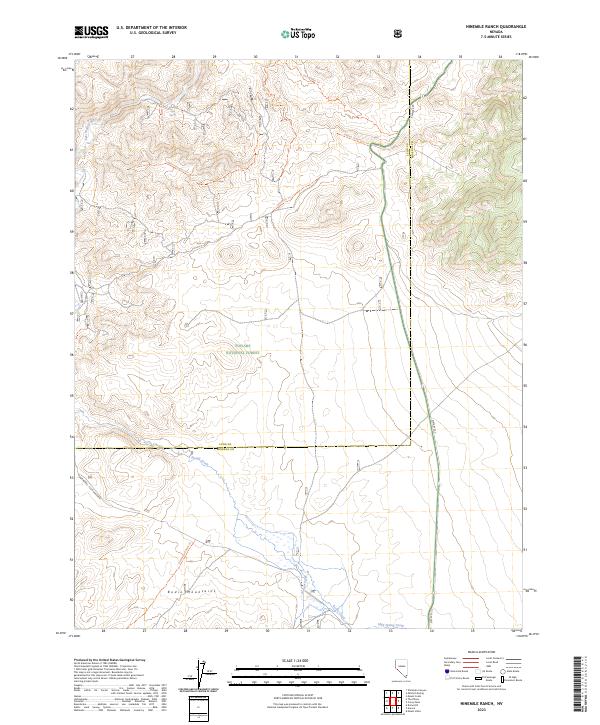
2023 Map of Ninemile Ranch
USGS Topo · Published 2023About this map
The Bodie Mountains and the northern reaches of the Toiyabe National Forest define this high-altitude landscape on the boundary of Lyon and Mineral counties. This remote area, mapped in 2023, is centered on the protected lands of the Wovoka Wilderness, where the East Walker River flows through the northwest corner. The terrain is crisscrossed by a network of named footpaths and backcountry routes, including the Aldrich Grade Spur Trl and Chet Connector Trl, reflecting a modern era of wilderness management and recreational access. Water sources are vital features in this arid environment, marked by sites like the Hot Spring and drainage systems including Rough Creek and Bodie Creek. Historical land use is suggested by the presence of the Homestead Mine Trl, providing a trail-based link to the region's mineral prospecting past.
Find a feature on this map
24 named features on this map. Tap any name to fly to it.
Don’t see what you’re looking for? This feature index may not catch every label — zoom into the map to look around manually.
Map Details
Editions of this 2023 Ninemile Ranch Map
This is the sole edition of this map. No revisions or reprints were ever made.
Other maps of this area

1891 · Wellington
USGS Topo · 1:125,000

1893 · Wellington
USGS Topo · 1:125,000

1909 · Hawthorne
USGS Topo · 1:250,000

1909 · Bridgeport
USGS Topo · 1:125,000

1911 · Bridgeport
USGS Topo · 1:125,000

1911 · Hawthorne
USGS Topo · 1:250,000

1915 · Hawthorne
USGS Topo · 1:250,000

1920 · Bridgeport
USGS Topo · 1:125,000

1948 · Walker Lake
USGS Topo · 1:250,000

1956 · Mt. Grant
USGS Topo · 1:62,500