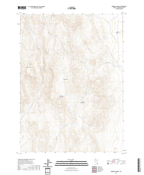
2021 Map of Ninemile Summit
USGS Topo · Published 2021About this map
Ninemile Summit and the high peaks of the Bilk Creek Mountains anchor this arid landscape in northern Nevada. The terrain is defined by a series of critical water sources that reflect the region's ranching and migratory heritage, including Basque Spring and Basque Basin, likely named for the sheepherders who once traversed these highlands. The eastern edge of the map descends into the Kings River Valley, while the western portion is dominated by the broad plateau of Table Mtn. A network of vital springs, such as Cherry Hill Spring, Dacite Spring, and Ninemile Springs, provides life-sustaining water in a territory otherwise marked by seasonal drainages like Bilk Cr. The presence of Ninemile Rd suggests the primary route through this high-desert pass, connecting remote basins across the Humboldt County wilderness.
Find a feature on this map
23 named features on this map. Tap any name to fly to it.
Don’t see what you’re looking for? This feature index may not catch every label — zoom into the map to look around manually.
Map Details
Editions of this 2021 Ninemile Summit Map
This is the sole edition of this map. No revisions or reprints were ever made.
Other maps of this area

1886 · Disaster
USGS Topo · 1:250,000

1893 · Disaster
USGS Topo · 1:250,000

1954 · Vya
USGS Topo · 1:250,000

1958 · Vya
USGS Topo · 1:250,000

1961 · Quinn River Crossing
USGS Topo · 1:62,500

1961 · Thacker Pass
USGS Topo · 1:62,500

1961 · Trident Peak
USGS Topo · 1:62,500

1961 · Disaster Peak
USGS Topo · 1:62,500

1962 · Vya
USGS Topo · 1:250,000

1979 · Denio
USGS Topo · 1:100,000