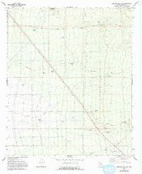
1966 Map of Ninetysix Hills SW
USGS Topo · Published 1993About this map
Red Rock Mine and the Tom Mix Monument anchor this stretch of the Arizona desert, where the landscape is defined by its water management and transit routes. The presence of the monument honors the legendary silent film star near the site of his fatal 1940 accident, making this a significant location for film historians. The terrain is crisscrossed by established tracks such as Smoke Road, Iron Valley Road, and Freeman Road, which connect isolated water features like Grumble Wells and Double Tank.
Find a feature on this map
21 named features on this map. Tap any name to fly to it.
Don’t see what you’re looking for? This feature index may not catch every label — zoom into the map to look around manually.
Map Details
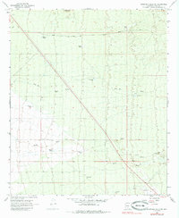
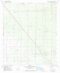
Editions of this 1966 Ninetysix Hills SW Map
4 editions found

Other maps of this area

1922 · Red Rock No 2
USGS Topo · 1:48,000

1934 · Newman Peak
USGS Topo · 1:125,000

1947 · Red Rock
USGS Topo · 1:62,500

1956 · Tucson
USGS Topo · 1:250,000

1958 · Tucson
USGS Topo · 1:250,000

1959 · Tucson
USGS Topo · 1:250,000

1959 · Tortolita Mts
USGS Topo · 1:62,500

1962 · Tucson
USGS Topo · 1:250,000
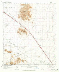
1963 · Red Rock
USGS Topo · 1:62,500

1964 · Tucson
USGS Topo · 1:250,000