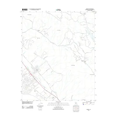
2012 Map of Nipomo
USGS Topo · Published 2012About this map
Nipomo serves as the primary hub in this corner of San Luis Obispo County, showing a mix of residential development and agricultural industry characterized by the Ross-Kellar Winery and the nearby Santa Maria Speedway. To the northeast, the landscape transitions into the steep terrain of the Santa Lucia Range foothills, where features like Schau Peak, Loma Pelona, and Temettate Ridge overlook a complex network of seasonal drainages including Los Berros Cr and Nipomo Cr.
Find a feature on this map
73 named features on this map. Tap any name to fly to it.
Don’t see what you’re looking for? This feature index may not catch every label — zoom into the map to look around manually.
Map Details
Editions of this 2012 Nipomo Map
This is the sole edition of this map. No revisions or reprints were ever made.
Other maps of this area

1897 · Arroyo Grande
USGS Topo · 1:62,500

1900 · San Luis
USGS Topo · 1:125,000

1905 · Guadalupe
USGS Topo · 1:125,000

1905 · Lompoc
USGS Topo · 1:125,000

1922 · Nipomo
USGS Topo · 1:62,500

1942 · Guadalupe
USGS Topo · 1:125,000

1942 · Lompoc
USGS Topo · 1:125,000

1942 · Arroyo Grande
USGS Topo · 1:62,500

1942 · Santa Maria
USGS Topo · 1:62,500

1942 · Point Sal
USGS Topo · 1:62,500