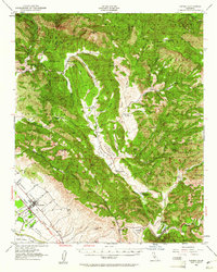
1952 Map of Nipomo
USGS Topo · Published 1961About this map
Nipomo serves as the primary hub of this landscape, situated along the U.S. 101 corridor where the coastal valley meets the rising topography of the Santa Lucia Range. The area is defined by a deep agricultural and ranching history, with numerous family-held properties like Adams Ranch and Park Ranch scattered through the interior canyons. The Huasna Valley runs centrally through the sheet, where the Huasna River and Huasna Creek intersect near the historic Huasna School.
Find a feature on this map
65 named features on this map. Tap any name to fly to it.
Don’t see what you’re looking for? This feature index may not catch every label — zoom into the map to look around manually.
Map Details
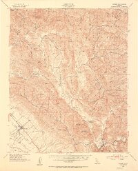
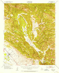
Editions of this 1952 Nipomo Map
3 editions found
Other maps of this area

1897 · San Luis Obispo
USGS Topo · 1:62,500

1897 · Arroyo Grande
USGS Topo · 1:62,500

1900 · San Luis
USGS Topo · 1:125,000

1905 · Guadalupe
USGS Topo · 1:125,000

1905 · Lompoc
USGS Topo · 1:125,000

1922 · Pozo
USGS Topo · 1:62,500

1922 · Nipomo
USGS Topo · 1:62,500

1932 · La Panza
USGS Topo · 1:48,000

1935 · La Panza
USGS Topo · 1:62,500

1936 · La Panza
USGS Topo · 1:62,500