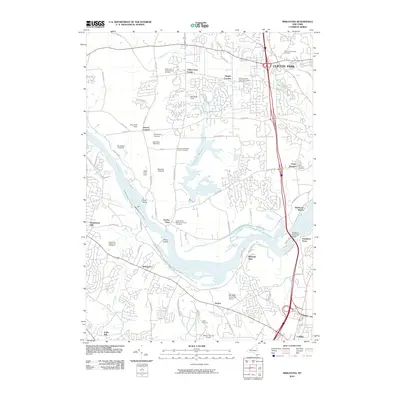
2010 Map of Niskayuna
USGS Topo · Published 2010About this map
The Mohawk River serves as the central artery of this suburban and agricultural landscape, flowing past Vischer Ferry and Dunsbach Ferry. This area, where the modern Thaddeus Kosciusko Bridge crosses the water, retains deep roots in its early Dutch and Methodist heritage, evidenced by numerous burial grounds including the Millious Dutch Reformed Church Cemetery and Amity Dutch Reformed Church Cemetery.
Find a feature on this map
80 named features on this map. Tap any name to fly to it.
Don’t see what you’re looking for? This feature index may not catch every label — zoom into the map to look around manually.
Map Details
Editions of this 2010 Niskayuna Map
This is the sole edition of this map. No revisions or reprints were ever made.
Other maps of this area

1893 · Cohoes
USGS Topo · 1:62,500

1893 · Troy
USGS Topo · 1:62,500

1893 · Schenectady
USGS Topo · 1:62,500

1893 · Albany
USGS Topo · 1:62,500

1895 · Troy
USGS Topo · 1:62,500

1895 · Cohoes
USGS Topo · 1:62,500

1895 · Albany
USGS Topo · 1:62,500

1895 · Schenectady
USGS Topo · 1:62,500

1898 · Schenectady
USGS Topo · 1:62,500

1898 · Albany
USGS Topo · 1:62,500